Linosa Island (Via Faraglioni, Lampedusa e Linosa AG, Italy)
Linosa island
| Type: | Soil Diffuse Emission |
|---|---|
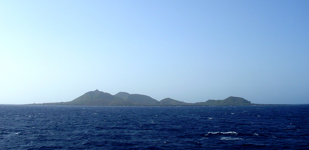
| Description: | Located at about 160 km far from Sicilian coast in the Pelagian Archipelago the Linosa island (about 5.2 km2; 196m a.s.l.) represents the sub-aerial portion of a largest volcanic complex that rise from a depth of 800 m b.s.l., near to south-west sector of the homonymous graben. Representing the most ancient sub-aerial volcanic edifice in the Sicily Channel (1.0 and 0.5 Ma), doesn’t show at present any kind of volcanic activity; only same submarine exhalative manifestation was recognized in correspondence of the top of a submerged relict volcanic structure. In the inland low flux of gas were recognized in some point with an arrangement in according to the regional tectonic setting.The sampling point is placed in the eastern sector of the island, at the base of the eastern flank of the Monte Vulcano and along the perimetral road of the island. |
Point of contact for this site:
Mariano Valenza, mvale@unipa.it (University of Palermo, DiSTeM)
No measurements available for this site.
Bibliographic references for this site
Lanti, E.G., Lanzafame, P.L. Rossi, C.A. Tranne and N. Calanchi , 1988,Vulcanismo e tettonica nel Canale di Sicilia: l’isola di Linosa , Mineralogica et Petrographica Acta, vol.31, pp. 69-93.
Lanzafame, G., Rossi, P.L., Tranne, C.A., and Lanti, E., 1994,Carta geologica dell’isola di Linosa, scale 1:5.000 , Firenze, SELCA
Rossi, P.L., Tranne, C.A., Calanchi, N., and Lanti, E. , 1996,Geology, stratigraphy and volcanological evolution of the island of Linosa (Sicily Channel), Acta Vulcanologica, vol.8, pp. 73-90